GIS Precincts & Political Data
January 2022
After approval from the Indiana Election Division the updated precinct boundaries, along with the updated County Commissioner, County Council and School Board Districts GIS data layers are now available from our GIS system.
Option 1. Download the GIS data using the Open Data Portal Link. You can choose Shapefile, KML, CSV or GeoJSON formats.
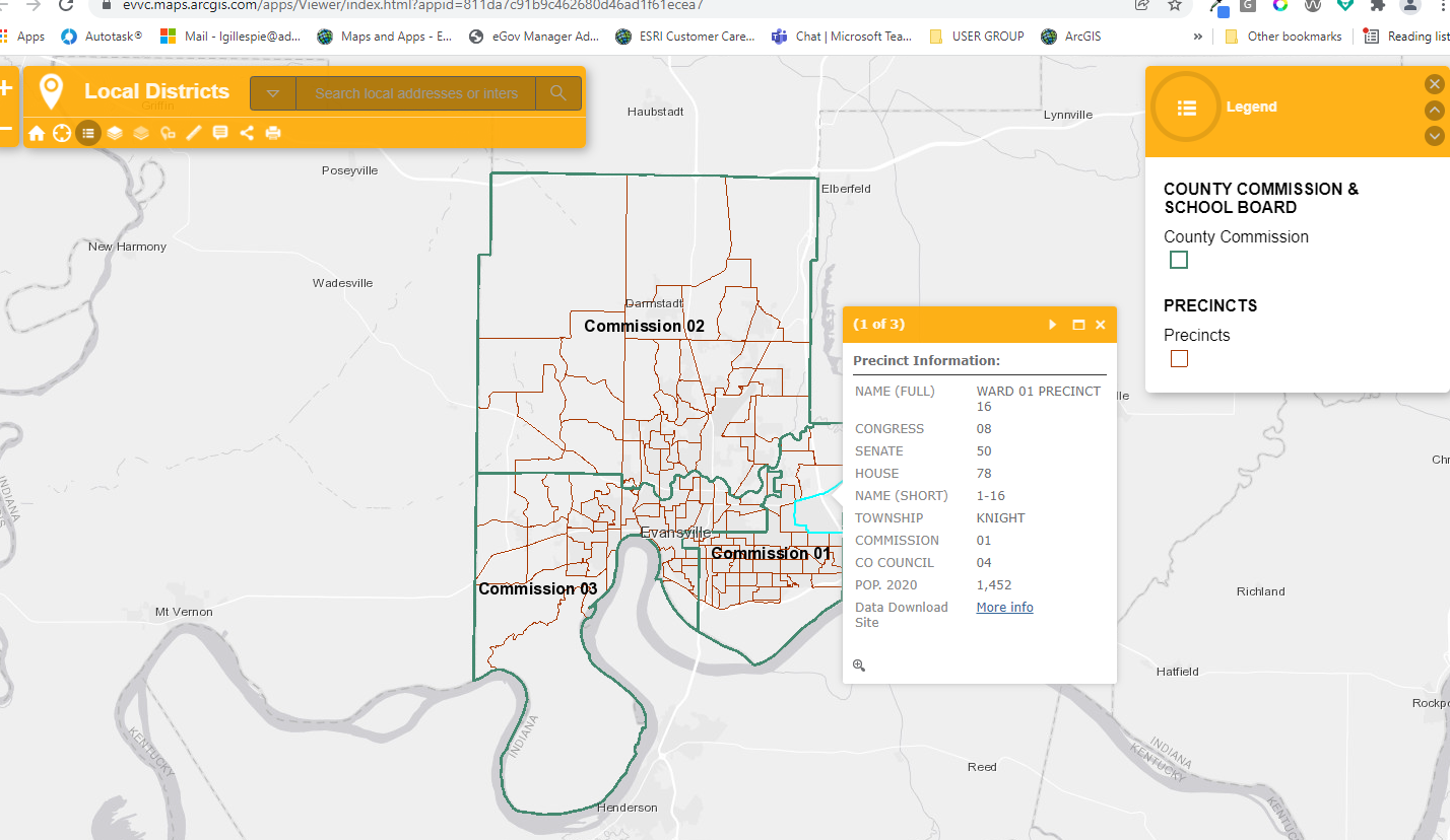
Option 2. Interactive GIS Map - You can view the updated data using an Interactive GIS Map, CLICK HERE to open map in new full size window. You can view other GIS Maps from the enterprise home page. https://evvc-evvc.opendata.arcgis.com
Please contact the GIS webmaster if you need additional GIS information.
You can contact the State Election Division at in.gov/sos/elections or call 317-232-3939
Image of Interactive Map below